| Boarding
the Princess Elaine we immediately set sail up the Yangtze toward
the Three Gorges. This would give us our last look at the Three Gorges
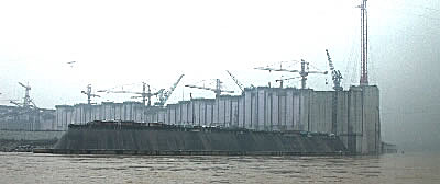
Dam project as we passed through the diversion channel alongside the
dam. This was an interesting view as we were at water level looking
up at the massive dam structure and not above it looking down. |
|
|
|
|
|
|
|
|
|
|
|
|
|
|
|
|
|
Scenes
of the Three Gorges Dam from the diversion channel
|
 The
dam stretched out behind us
 |
Let
there be no mistake ... this is one huge dam. Much bigger than the
Grand Coulee and the Aswan dams that Anne and I have seen before.
Having passed completely around the dam site we now put our thoughts
into the upcoming Xiling Gorge. The Xiling Gorge is the largest of
the Three Gorges and actually begins before the dam site. If only
the weather had been better the pictures would show so much more,
but you have to take the cards as they fall sometimes. The weather
and fog did add a certain atmosphere to the rather dreary pictures. |
|
|
|
|
|
|
|
|
|
|
|
|
|
|
The
Three Gorges of the Yangtze River were very impressive. Not so much
because of the height of the surrounding mountains, rather because
of the relative narrow width of the Yangtze in conjunction with the
surrounding mountain tops. There were points where two large boats
couldn't pass side-by-side through the channel. And, much of the time,
the surrounding mountains were nothing more than sheer rock faces.
It was a beautiful sight and I expect it will lose much of its appeal
once the dam is completed and the area flooded to the 175 meter level. |
|
|
|
|
|
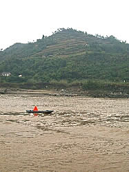 Channel
buoy
 |
| The
shipping channels were clearly marked with buoys, but they were located
on boats and not stationary. The reason ... because of the ever-changing
level of the river. This way they could be easily reset based on the
current level of the river. |
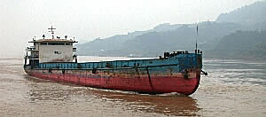 A
passing ship
 |
|
|
|
|
| It
seems we were never alone on the river. There was always a variety
of ships, both large and small, around us and on shore. They were
interesting to watch as you never knew what to expect from the next
passing barge. |
|
|
|
|
|
|
|
|
|
|
|
|
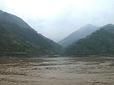 Narrow
tributary
 |
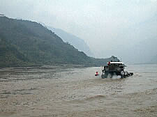 Another
passing ship
 |
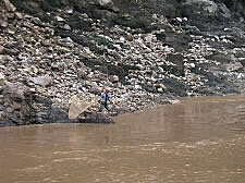 Fishing
from a rock
 |
|
|
|
|
|
|
|
|
|
|
|
|
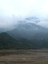 Cloud
covered
mountain tops |
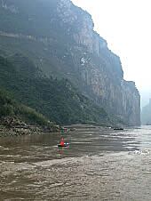 Shear
cliffs
 |
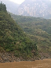 The
Yangtze's always
brown color |
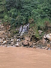 Trickling
waterfall
 |
|
|
|
|
|
|
|
|
|
|
|
|
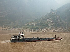 Passing
coal ship
 |
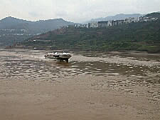 High
speed hydrofoil taxi
 |
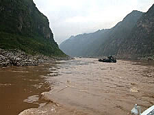 The
Yangtze's narrow passages
 |
|
|
|
|
|
|
|
|
|
|
|
|
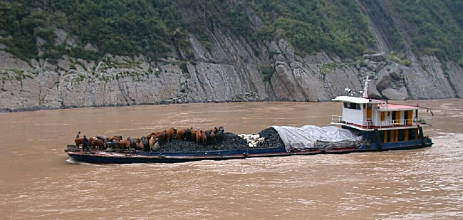 A
cargo of coal, water buffalo and goats
 |
|
|
|
|
|
|
|
|
|
|
|
|
| You
really did need to keep your eyes open and inspect every passing ship.
The ship (above) carrying the coal with the water buffalo and goats
standing on top of the coal came upon us very quickly and many people
didn't even see it coming. I'm glad I was paying attention as it is
one of my favorite pictures from the trip. |
|
|
|
|
|
|
|
|
|
|
|
|
 Anne
looking through binoculars
 |
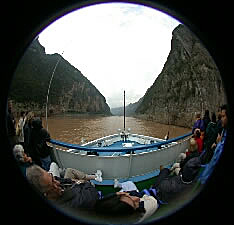 Narrow
passage through fisheye
 |
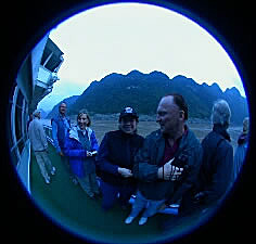
Alicia
with Hal and Faye
|
|
|
|
|
|
|
|
|
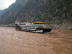 A
Yangtze cruise ship constructed
to look like a Chinese junk |
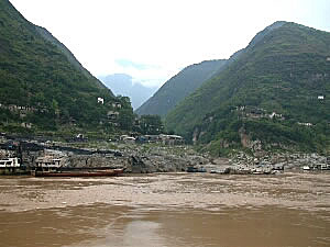
Small
coal village
|
|
|
|
|
|
|
|
|
|
|
|
|
| China,
today, is heavily dependent on coal for its heat and power, and that
is evident when you sail along the Yangtze. Many of the ships and
barges are hauling coal, and all along the shore there are small coal
operations, most of which are all handled manually or by gravity.
Coal would be mined and brought to the river's bank where it was left
high above the river. They would then send the coal down chutes to
load the waiting boats. For the most part there was no evidence of
any automated machinery beyond the trucks that were used to transport
the coal from the mine to the river. |
|
|
|
|
|
|
|
|
|
|
|
|
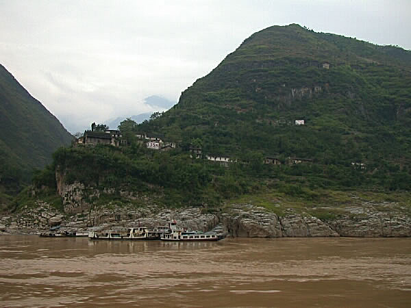 The
flood level marked on the mountainside
All along our route you would see large white signs placed on the
hillsides. There were two
of them ... the 135m and 175m markers. The 135m marker (seen clearly
above) shows the
level of the initial flooding scheduled for 2003. The higher 175m
marker (white marker in the
middle of the mountain) shows the eventual water level when the
area is totally flooded
in 2009. Everything below these markers will be covered by the water.
|
|
|
|
|
|
|
|
|
|
|
|
|
|
|
|
|
Let's
continue to another page for more pictures of the Three Gorges .... |

